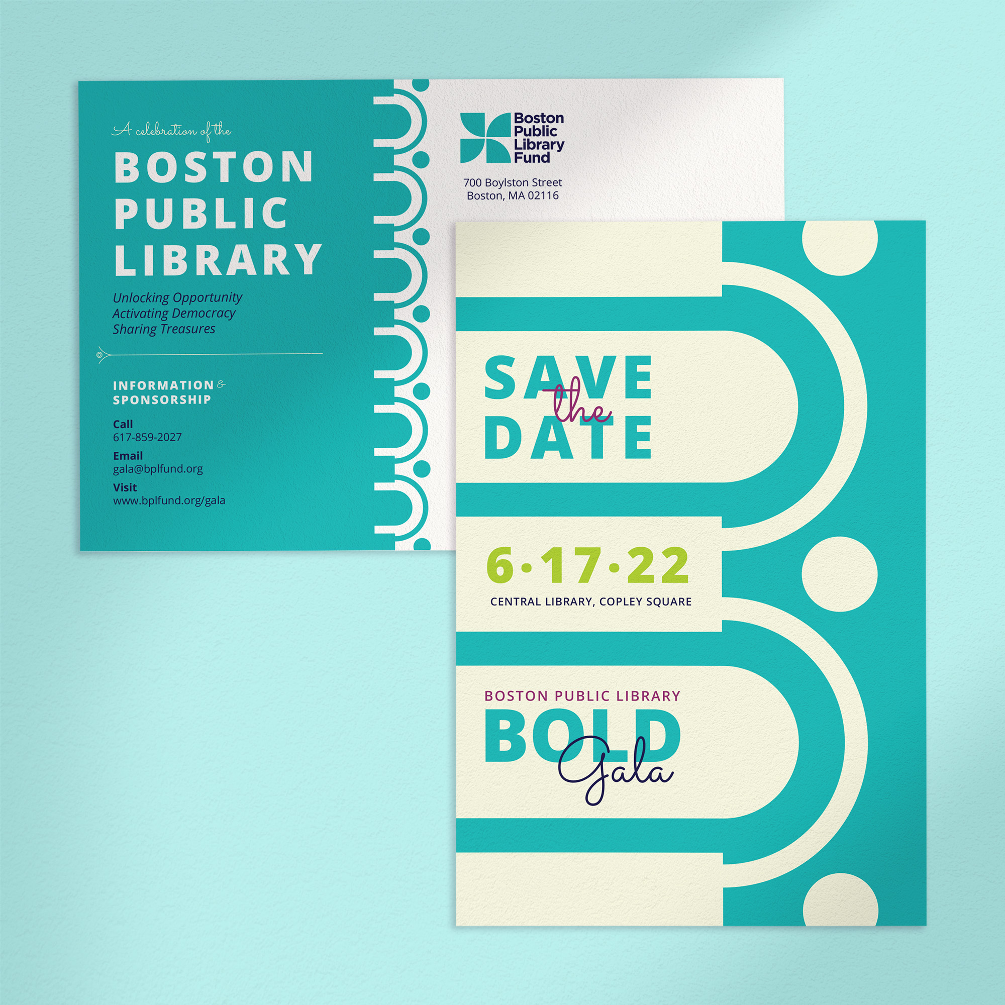
Boston Public Library Passport
Client: Boston Public Library
The BPL Passport is a physical "passport" available to pickup at every Boston Public Library branch. The passport includes 25 walking routes to travel between all 26 BPL branches, with a chance to get a passport stamp at each branch. The goal is to link the city with the library in a new way – by using library branches as the starting and ending points, users are guided through their city, whether traveling to familiar branches or neighborhoods they’ve never visited. I had the opportunity to work with a wonderful team on this project, including Librarians and members of the Library's Communications and Leventhal Map & Education Center teams. My responsibilities were the design concept and layout for the booklet, illustrations and stamps for each branch, the 25 route maps, and a logo for the BPL Passport.


The library branches are color coded in a gradient from BPL Orange to BPL Magenta to help orient users along the walking route. I just love that there are 26 library branches so we could label them from A to Z!


Each library branch has a spread where users can learn more information about the branch’s history, get their stamp, and take down notes & doodles.
Branch illustrations


The maps show walking routes between library branches, as well as public parks and landmarks, main street districts, and public transportation hubs. The sidebars on the left were inspired by airplane tickets and book spines.


The team requested a logo that featured the full walking route map to be used on the passport cover, in social media posts, and for a variety of giveaway items that even included medals! To meet this variety of purposes, I built out a flexible logo system that is in tune with the rest of the passport design.

Finally, it was a huge honor when the team asked if I’d design a new library card based on the BPL Passport branding. Each of the 26 library branches is included in the chosen design!